THINGS TO DO · GREAT OUTDOORS
HIKING
HALF A MILE
CLOSEST TRAIL
RAINBOW FALLS
0.8 MILES
500 feet of gain, one way to the waterfall
Mt Dewey, walkable from downtown
SHELTERS
THREE
Institute Creek, High Country, and Pond
MAPS
Visitor Center at the Nolan Center, or the Forest Service office
TRAILHEADS WITHIN WALKING DISTANCE OF THE HARBOR, AND THE TONGASS BEHIND THEM.
Wrangell Island has more trail than most visitors expect, and you do not need a boat or a plan to reach the first of it. Two of the three walks below start close enough to town that you can decide over breakfast, and the third is a bike ride or a cab out the road.
Detailed maps of the trails and the road system are at the Visitor Center in the Nolan Center, or at the Forest Service office.
Worth knowing before you pick one. Wrangell’s two signature trails are both built on stairs, log steps and boardwalk, and both come with the same caution in the City’s own material: they are not suitable for anyone with knee, hip or mobility issues, and the boardwalk is harder again when wet. The Volunteer Park loop is the gentle option.
WALKABLE FROM DOWNTOWN
01
MT. DEWEY TRAIL
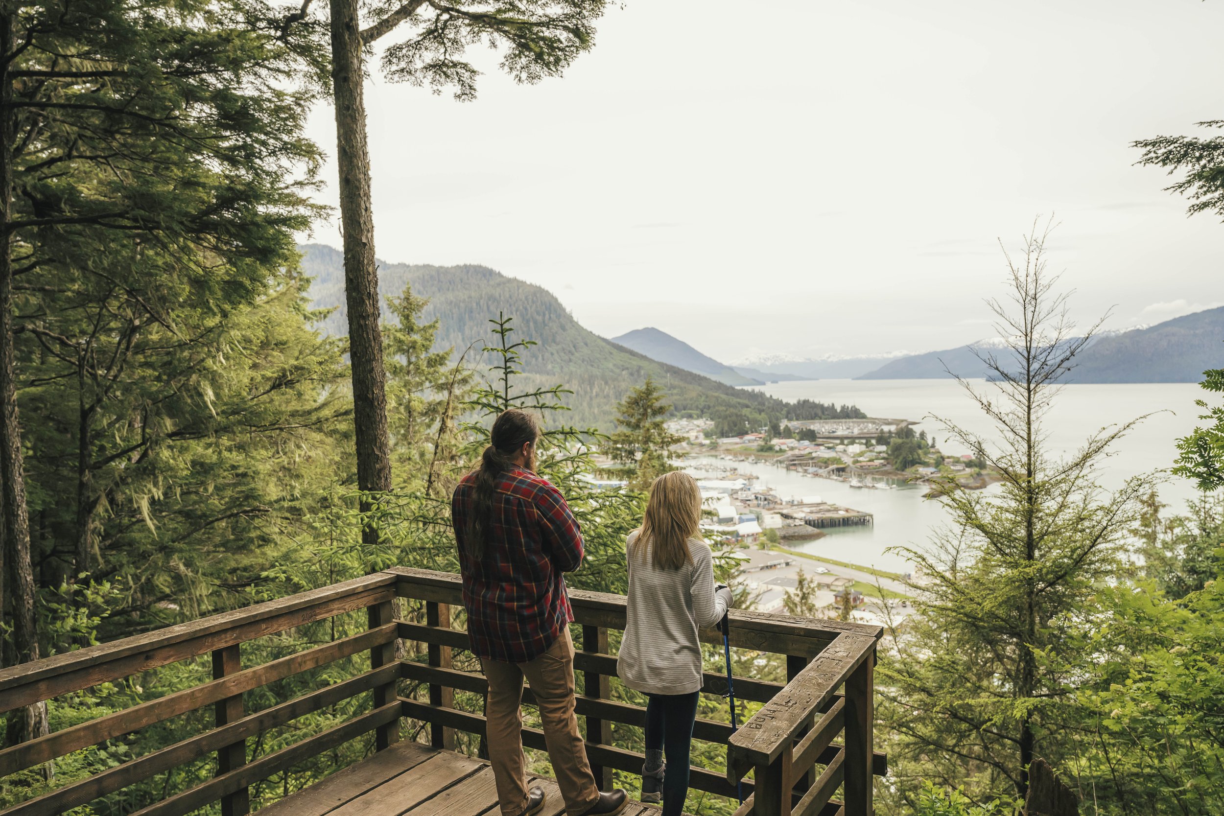
Half a mile of climbing brings you to a clearing in the trees with a platform looking out over Wrangell and the waterways around it. The trailhead is within walking distance of downtown — green signs on the residential streets and stairways point the way to the start.
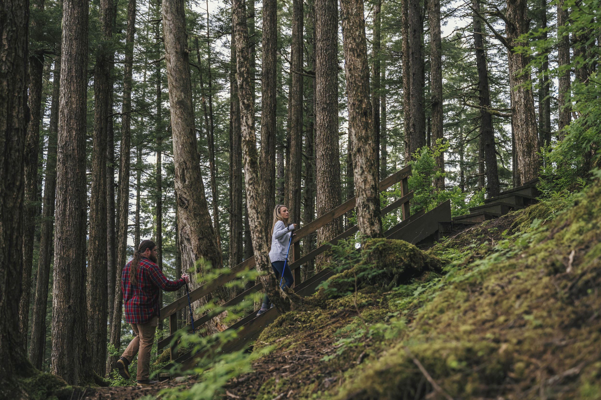
The trail winds up through hemlock forest on a “step and run” boardwalk.
John Muir climbed Mt. Dewey in 1879 and lit a fire at his camp during a storm, alarming the Tlingit people in the town below.
Half a mile up · Boardwalk through hemlock · Trailhead walkable from downtown
IN TOWN
02
VOLUNTEER PARK LOOP
Known locally as the Nature Trail. An easy loop through muskeg, marsh and rainforest, all within easy reach of town — and the one on this page that does not involve a climb.
Blueberry bushes line parts of it, and they are fair game when the berries ripen in late summer.
WALKABLE FROM DOWNTOWN
03
RAINBOW FALLS
The trail starts with a short, steep climb through hemlock and arrives at the falls. For a lot of people that is the whole outing, and it is a good one.
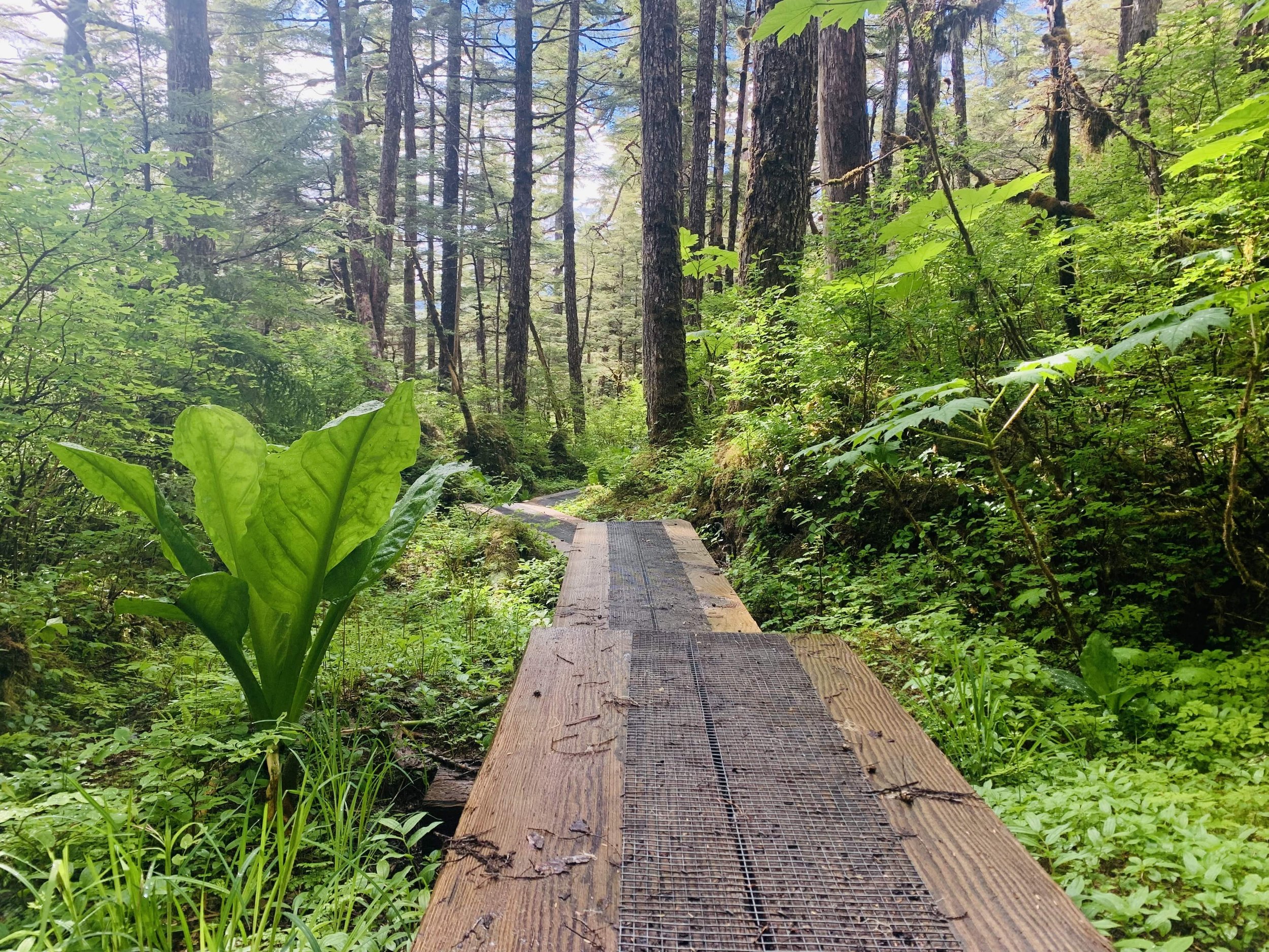
It is surfaced mostly with stairs, log steps and boardwalk, which is what makes the steep and slippery parts passable at all. In wet weather — which is most weather — the boardwalk demands attention.
0.8 miles one way · 500 feet of gain · Trailhead 4.5 miles out Zimovia Highway
Steep sections, many steps and slippery boardwalk. Caution advised for knee or hip issues, and the boardwalk is harder again when wet.
INSTITUTE CREEK & NORTH WRANGELL
04
PAST THE FALLS
The falls are not the end of the trail. Beyond them it continues as the Institute Creek Trail, running up to a shelter that looks out over Shoemaker Bay, with ridge views and wet meadows along the way.
From there the North Wrangell Trail branches off and climbs into higher country, reaching the High Country and Pond shelters. All three are open for a rest or an overnight.
Wrangell is one of the few towns in Southeast where the backcountry starts at the end of a short road.
That turns a half-day walk into an overnight without a boat, a charter or a reservation.
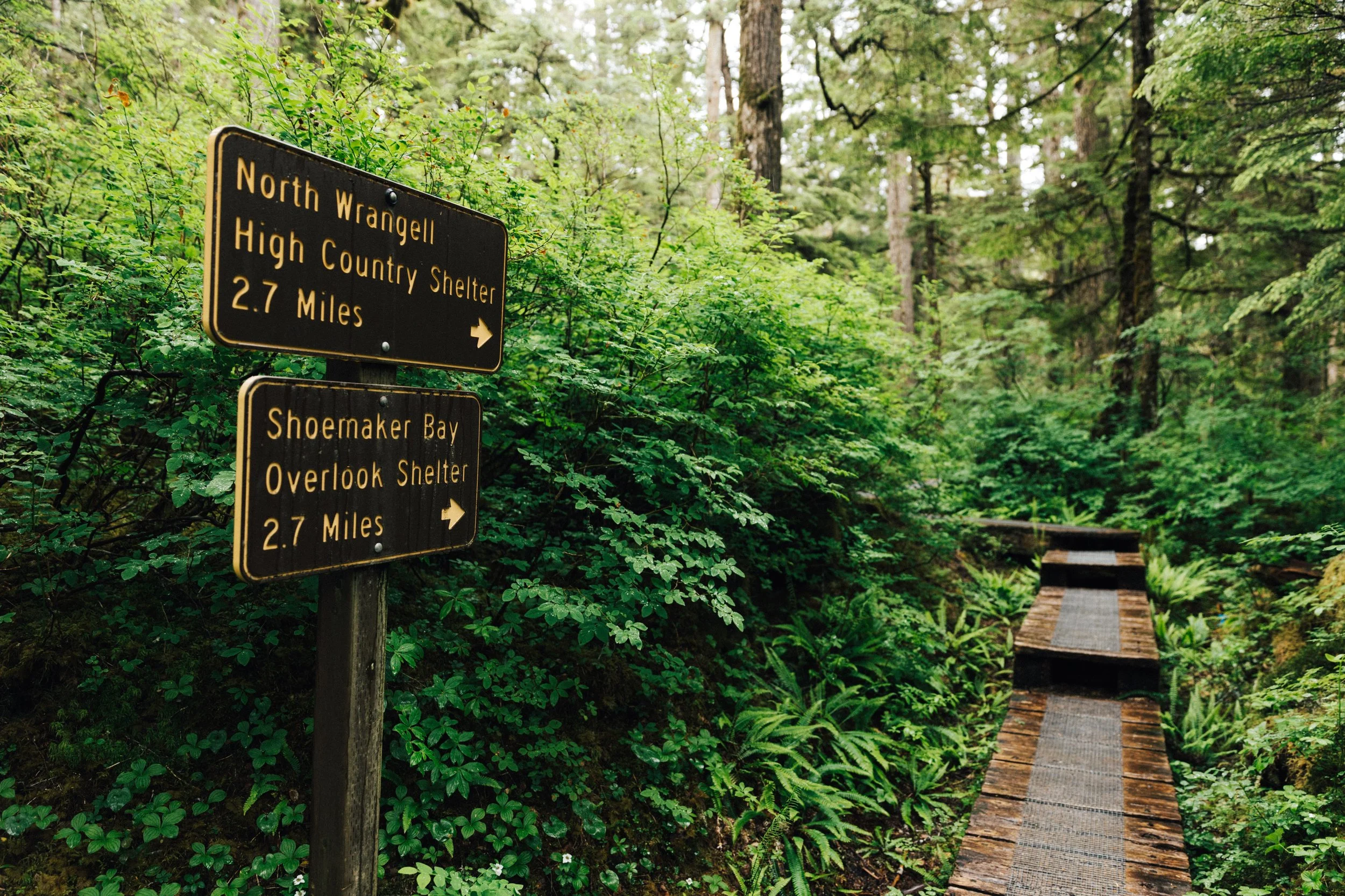
BEFORE YOU WALK
Pick up a map first. Nolan Center Visitor Center or the Forest Service office. The trail network makes more sense on paper than on a phone.
This is bear country.
Boots, not trainers. Muskeg holds water and the boardwalk gets slick.
Check the mobility notes above before committing to Mt. Dewey or Rainbow Falls.
Tell someone where you went if you are heading past the falls.
The rain is not a reason to stay in. It is most of the reason it looks like that.
NEAR BY ATTRACTIONS
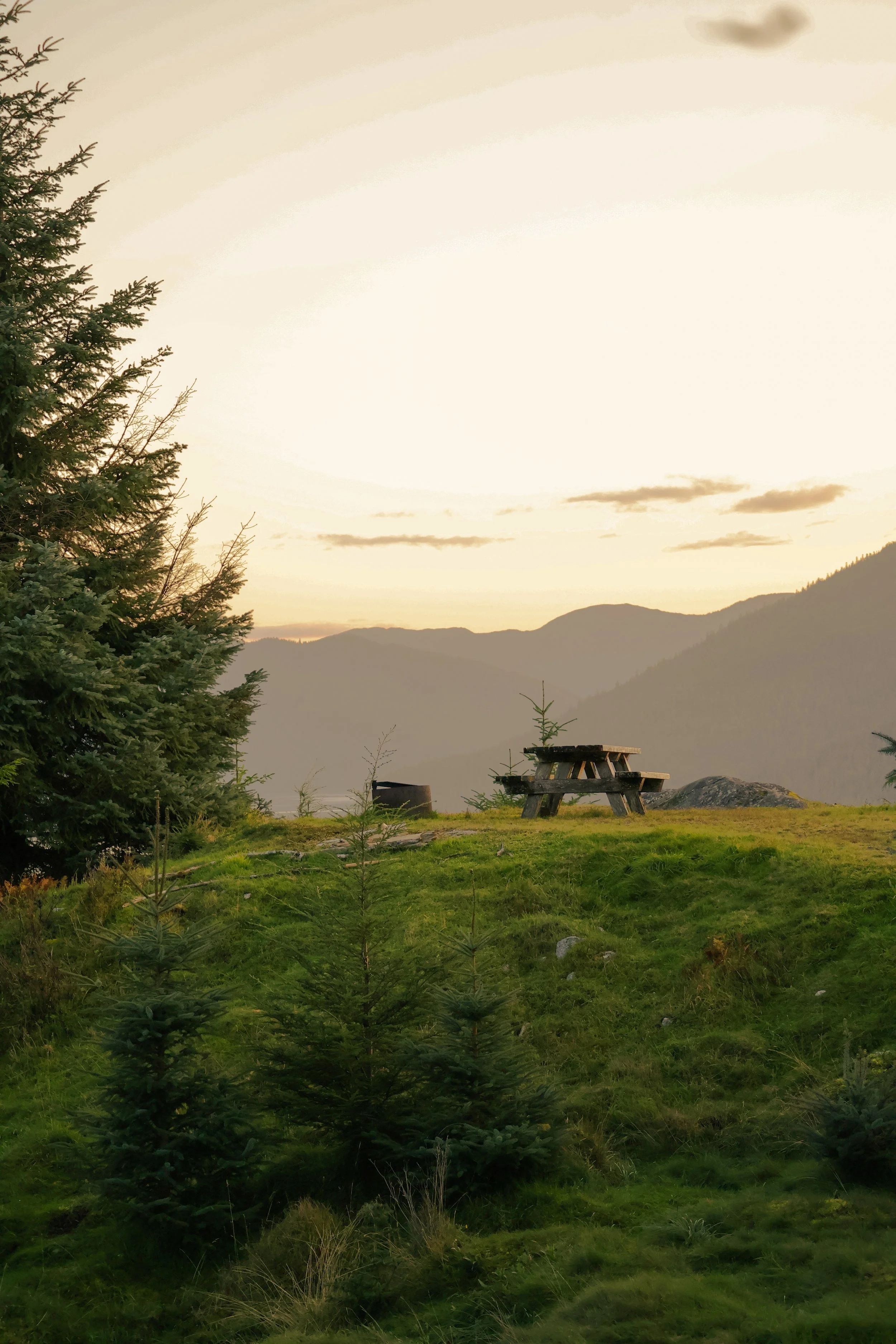
CAMPING & CABINS

WILDLIFE